Inverness from Friars Bridge
Introduction
The photograph on this page of Inverness from Friars Bridge by C L T Smith as part of the Geograph project.
The Geograph project started in 2005 with the aim of publishing, organising and preserving representative images for every square kilometre of Great Britain, Ireland and the Isle of Man.

There are currently over 7.5m images from over 14,400 individuals and you can help contribute to the project by visiting https://www.geograph.org.uk
Inverness from Friars Bridge
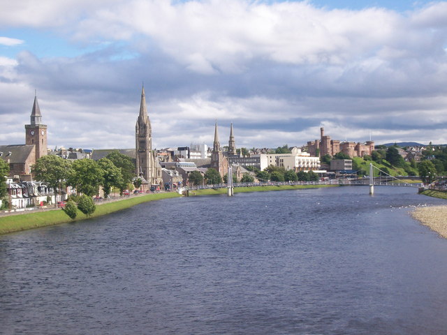
Image: © C L T Smith Taken: 17 Jul 2007
The impressive view of some of the city's most impressive buildings by the River Ness, seen from Friars Bridge
Images are licensed for reuse under creativecommons.org/licenses/by-sa/2.0
Image Location


Leaflet Map data © OpenStreetMap
Latitude
57.47997
Longitude
-4.231341