The Half House
Introduction
The photograph on this page of The Half House by Christine Westerback as part of the Geograph project.
The Geograph project started in 2005 with the aim of publishing, organising and preserving representative images for every square kilometre of Great Britain, Ireland and the Isle of Man.

There are currently over 7.5m images from over 14,400 individuals and you can help contribute to the project by visiting https://www.geograph.org.uk
The Half House
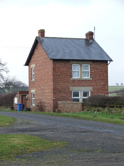
Image: © Christine Westerback Taken: 11 Feb 2006
What looks like half a house opposite West House Farm. There was no name for this house on the map.
Images are licensed for reuse under creativecommons.org/licenses/by-sa/2.0
Image Location
Latitude
55.118651
Longitude
-1.758521