Steyning By-Pass
Introduction
The photograph on this page of Steyning By-Pass by Simon Carey as part of the Geograph project.
The Geograph project started in 2005 with the aim of publishing, organising and preserving representative images for every square kilometre of Great Britain, Ireland and the Isle of Man.

There are currently over 7.5m images from over 14,400 individuals and you can help contribute to the project by visiting https://www.geograph.org.uk
Steyning By-Pass
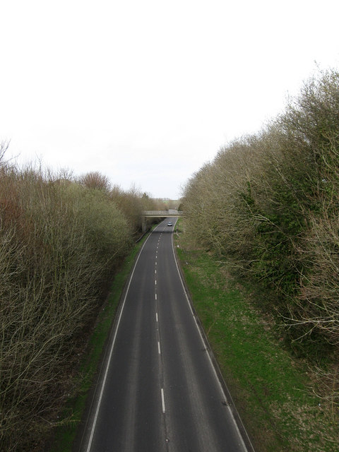
Image: © Simon Carey Taken: 8 Mar 2009
Viewed from the footbridge that links King's Barn Villas with Goring Road. This part of the by-pass was built along the trackbed of the former Shoreham-Horsham railway line that operated between 1861-1966. The road was constructed in the mid 1980s to reduce congestion in Steyning, Bramber and Upper Beeding. The bridge in the distance carries King's Barn Lane over the A283.
Images are licensed for reuse under creativecommons.org/licenses/by-sa/2.0
Image Location
Latitude
50.888835
Longitude
-0.321035