Arbrook Common
Introduction
The photograph on this page of Arbrook Common by Colin Smith as part of the Geograph project.
The Geograph project started in 2005 with the aim of publishing, organising and preserving representative images for every square kilometre of Great Britain, Ireland and the Isle of Man.

There are currently over 7.5m images from over 14,400 individuals and you can help contribute to the project by visiting https://www.geograph.org.uk
Arbrook Common
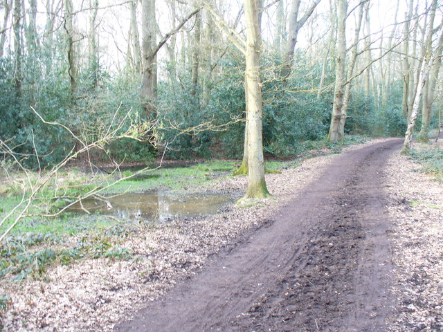
Image: © Colin Smith Taken: 14 Mar 2009
Popular area for walkers - near to Esher and Claygate. The clay soils are poorly drained - see the pools beside the clay-surfaced bridleway.
Images are licensed for reuse under creativecommons.org/licenses/by-sa/2.0
Image Location
Latitude
51.356558
Longitude
-0.359431