Trinity School, Teignmouth
Introduction
The photograph on this page of Trinity School, Teignmouth by Jennifer Vaughan as part of the Geograph project.
The Geograph project started in 2005 with the aim of publishing, organising and preserving representative images for every square kilometre of Great Britain, Ireland and the Isle of Man.

There are currently over 7.5m images from over 14,400 individuals and you can help contribute to the project by visiting https://www.geograph.org.uk
Trinity School, Teignmouth
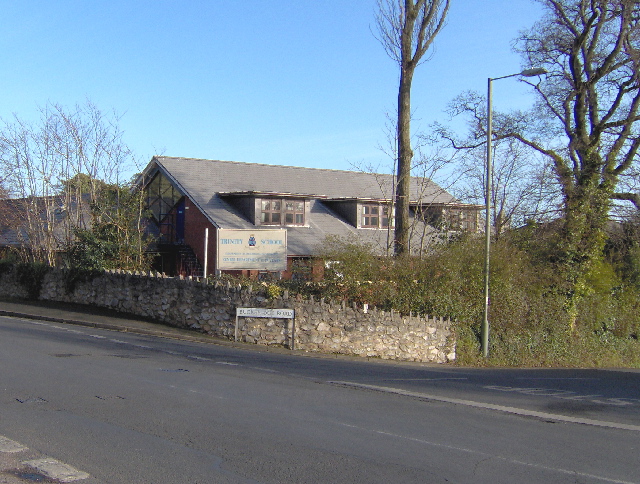
Image: © Jennifer Vaughan Taken: 8 Feb 2006
An independent co-educational school founded 1979 with over 630 pupils from nursery to sixth form, see http://www.trinityschool.co.uk/ and the "development" section.
Images are licensed for reuse under creativecommons.org/licenses/by-sa/2.0
Image Location
Latitude
50.559675
Longitude
-3.500678