Warren Lane heads under A28 Simone Weil Avenue
Introduction
The photograph on this page of Warren Lane heads under A28 Simone Weil Avenue by David Anstiss as part of the Geograph project.
The Geograph project started in 2005 with the aim of publishing, organising and preserving representative images for every square kilometre of Great Britain, Ireland and the Isle of Man.

There are currently over 7.5m images from over 14,400 individuals and you can help contribute to the project by visiting https://www.geograph.org.uk
Warren Lane heads under A28 Simone Weil Avenue
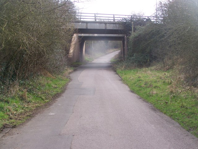
Image: © David Anstiss Taken: 7 Mar 2009
The lane heads to A292 Maidstone Road, from The Warren (countryside park and picnic area). The dual carriageway heads left, to A28 Canterbury Road, from A28/A292/A20 roundabout.
Images are licensed for reuse under creativecommons.org/licenses/by-sa/2.0
Image Location
Latitude
51.156862
Longitude
0.862684