Drive to Woodlands Farm (Formerly White Cloud Farm)
Introduction
The photograph on this page of Drive to Woodlands Farm (Formerly White Cloud Farm) by Chris Reynolds as part of the Geograph project.
The Geograph project started in 2005 with the aim of publishing, organising and preserving representative images for every square kilometre of Great Britain, Ireland and the Isle of Man.

There are currently over 7.5m images from over 14,400 individuals and you can help contribute to the project by visiting https://www.geograph.org.uk
Drive to Woodlands Farm (Formerly White Cloud Farm)
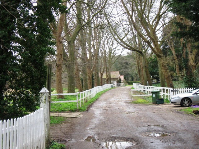
Image: © Chris Reynolds Taken: 10 Mar 2009
The Farm (now redeveloped after most of its fields were cut off by the bypass) at the end of the drive was originally the “Home Farm” of Tring Park. In 1950 it was renamed “White Cloud Farm” when the parents of Stirling Moss http://en.wikipedia.org/wiki/Stirling_Moss and Pat Moss http://en.wikipedia.org/wiki/Pat_Moss moved in. It has now been renamed Woodlands Farm.
Images are licensed for reuse under creativecommons.org/licenses/by-sa/2.0
Image Location
Latitude
51.789211
Longitude
-0.668419