Houses at Gedloch
Introduction
The photograph on this page of Houses at Gedloch by Anne Burgess as part of the Geograph project.
The Geograph project started in 2005 with the aim of publishing, organising and preserving representative images for every square kilometre of Great Britain, Ireland and the Isle of Man.

There are currently over 7.5m images from over 14,400 individuals and you can help contribute to the project by visiting https://www.geograph.org.uk
Houses at Gedloch
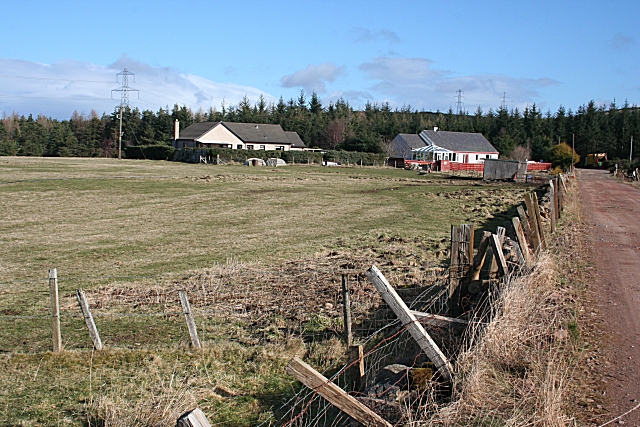
Image: © Anne Burgess Taken: 10 Mar 2009
The cottage on the right is much older than the modern bungalow on the left. The track is the access road both to Gedloch Quarry and to the forest on Hart Hill.
Images are licensed for reuse under creativecommons.org/licenses/by-sa/2.0
Image Location


Leaflet Map data © OpenStreetMap
Latitude
57.581871
Longitude
-3.281002