Former playing fields of Keil School
Introduction
The photograph on this page of Former playing fields of Keil School by Lairich Rig as part of the Geograph project.
The Geograph project started in 2005 with the aim of publishing, organising and preserving representative images for every square kilometre of Great Britain, Ireland and the Isle of Man.

There are currently over 7.5m images from over 14,400 individuals and you can help contribute to the project by visiting https://www.geograph.org.uk
Former playing fields of Keil School
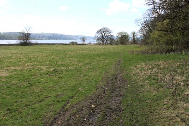
Image: © Lairich Rig Taken: 19 Apr 2005
The field is bounded on the shore side by a wall; on the other side of the wall is a footpath, part of a shore-side route from Levengrove to Ardoch. For the main description of Keil School, see Image At the time this photograph was taken, the school had been closed for a few years. By 2009, when this photograph was submitted, the fields shown here were being developed for new housing (Image); as a result, the view shown here no longer existed. About halfway up the right-hand edge of the picture, a green track shows the location of the entrance of a former quarry: Image
Images are licensed for reuse under creativecommons.org/licenses/by-sa/2.0
Image Location
Latitude
55.939298
Longitude
-4.583409