Keyway Island Portobello
Introduction
The photograph on this page of Keyway Island Portobello by Gordon Griffiths as part of the Geograph project.
The Geograph project started in 2005 with the aim of publishing, organising and preserving representative images for every square kilometre of Great Britain, Ireland and the Isle of Man.

There are currently over 7.5m images from over 14,400 individuals and you can help contribute to the project by visiting https://www.geograph.org.uk
Keyway Island Portobello
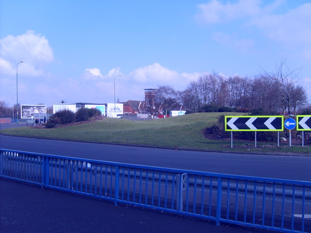
Image: © Gordon Griffiths Taken: 5 Mar 2009
The A454 bypasses Willenhall on its way to the M6, viewed from the New Street junction.
Images are licensed for reuse under creativecommons.org/licenses/by-sa/2.0
Image Location
Latitude
52.58249
Longitude
-2.067845