Bell Orchard
Introduction
The photograph on this page of Bell Orchard by Phil Williams as part of the Geograph project.
The Geograph project started in 2005 with the aim of publishing, organising and preserving representative images for every square kilometre of Great Britain, Ireland and the Isle of Man.

There are currently over 7.5m images from over 14,400 individuals and you can help contribute to the project by visiting https://www.geograph.org.uk
Bell Orchard
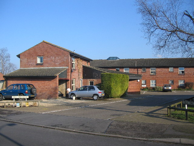
Image: © Phil Williams Taken: 28 Jan 2006
A view looking east across Field Close to the entrance to Bell Orchard, a sheltered housing complex.
Images are licensed for reuse under creativecommons.org/licenses/by-sa/2.0
Image Location
Latitude
51.263413
Longitude
-2.183401