South Vale footbridge and River Caldew
Introduction
The photograph on this page of South Vale footbridge and River Caldew by Rose and Trev Clough as part of the Geograph project.
The Geograph project started in 2005 with the aim of publishing, organising and preserving representative images for every square kilometre of Great Britain, Ireland and the Isle of Man.

There are currently over 7.5m images from over 14,400 individuals and you can help contribute to the project by visiting https://www.geograph.org.uk
South Vale footbridge and River Caldew
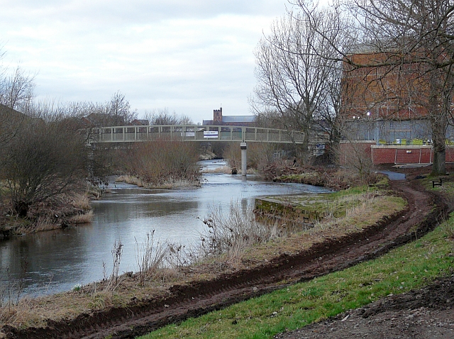
Image: © Rose and Trev Clough Taken: 21 Feb 2009
Zoomed-in view from Bousteads Grassing. This is Image seen from a different angle. Opened in February 2009, it is stronger and higher than the old bridge, which was replaced as part of the Caldew flood alleviation scheme http://www.geograph.org.uk/photo/1197298 . Carlisle Cathedral can be seen in the distance.
Images are licensed for reuse under creativecommons.org/licenses/by-sa/2.0
Image Location
Latitude
54.885228
Longitude
-2.937119