Brewsters Road
Introduction
The photograph on this page of Brewsters Road by Alan Murray-Rust as part of the Geograph project.
The Geograph project started in 2005 with the aim of publishing, organising and preserving representative images for every square kilometre of Great Britain, Ireland and the Isle of Man.

There are currently over 7.5m images from over 14,400 individuals and you can help contribute to the project by visiting https://www.geograph.org.uk
Brewsters Road
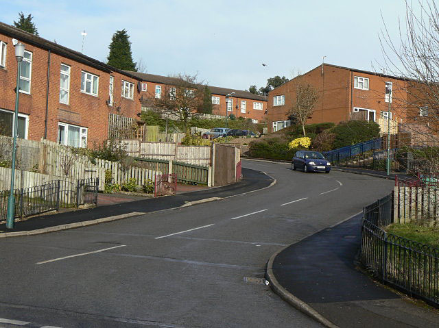
Image: © Alan Murray-Rust Taken: 8 Mar 2009
This was one of the last pieces of wholesale development in St Ann's, but it replaced allotment gardens rather than existing housing.
Images are licensed for reuse under creativecommons.org/licenses/by-sa/2.0
Image Location
Latitude
52.968752
Longitude
-1.129799