Abbotsford Drive
Introduction
The photograph on this page of Abbotsford Drive by Alan Murray-Rust as part of the Geograph project.
The Geograph project started in 2005 with the aim of publishing, organising and preserving representative images for every square kilometre of Great Britain, Ireland and the Isle of Man.

There are currently over 7.5m images from over 14,400 individuals and you can help contribute to the project by visiting https://www.geograph.org.uk
Abbotsford Drive
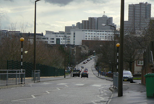
Image: © Alan Murray-Rust Taken: 8 Mar 2009
Looking towards the City Centre, with the Victoria Centre flats on the skyline. This road was created from scratch as part of the St Anns redevelopment of the 1970s and is a main feeder road for the area.
Images are licensed for reuse under creativecommons.org/licenses/by-sa/2.0
Image Location
Latitude
52.963354
Longitude
-1.14152