Blocked Phene Street
Introduction
The photograph on this page of Blocked Phene Street by PAUL FARMER as part of the Geograph project.
The Geograph project started in 2005 with the aim of publishing, organising and preserving representative images for every square kilometre of Great Britain, Ireland and the Isle of Man.

There are currently over 7.5m images from over 14,400 individuals and you can help contribute to the project by visiting https://www.geograph.org.uk
Blocked Phene Street
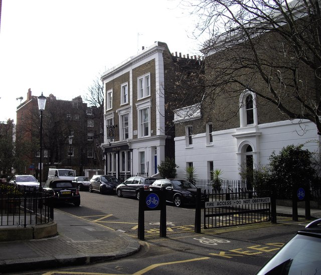
Image: © PAUL FARMER Taken: 9 Mar 2009
The pub is the Phene Arms. The road is blocked to prevent this area being used by cars to take short cuts from Kings Road to the Embankment
Images are licensed for reuse under creativecommons.org/licenses/by-sa/2.0
Image Location
Latitude
51.485097
Longitude
-0.167584