Wealdway near Royal Oak Pub
Introduction
The photograph on this page of Wealdway near Royal Oak Pub by David Anstiss as part of the Geograph project.
The Geograph project started in 2005 with the aim of publishing, organising and preserving representative images for every square kilometre of Great Britain, Ireland and the Isle of Man.

There are currently over 7.5m images from over 14,400 individuals and you can help contribute to the project by visiting https://www.geograph.org.uk
Wealdway near Royal Oak Pub
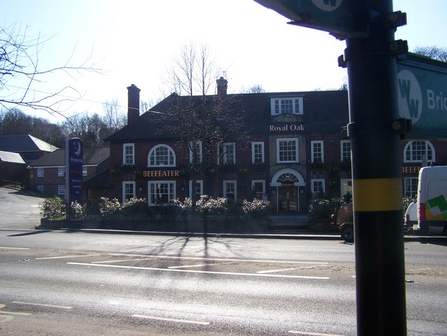
Image: © David Anstiss Taken: 2 Mar 2009
The long distance path crosses the busy A20 London Road, leading to St Vincents Lane,near Wrotham Heath.
Images are licensed for reuse under creativecommons.org/licenses/by-sa/2.0
Image Location
Latitude
51.298136
Longitude
0.342097