West Road Crematorium - Loggia
Introduction
The photograph on this page of West Road Crematorium - Loggia by Anthony Foster as part of the Geograph project.
The Geograph project started in 2005 with the aim of publishing, organising and preserving representative images for every square kilometre of Great Britain, Ireland and the Isle of Man.

There are currently over 7.5m images from over 14,400 individuals and you can help contribute to the project by visiting https://www.geograph.org.uk
West Road Crematorium - Loggia
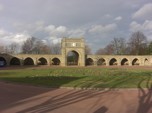
Image: © Anthony Foster Taken: 8 Mar 2009
The loggia links the West and East Chapels. The central arch leads to the Garden of Remembrance
Images are licensed for reuse under creativecommons.org/licenses/by-sa/2.0
Image Location
Latitude
54.982772
Longitude
-1.677302