Riverbank Nursery
Introduction
The photograph on this page of Riverbank Nursery by Mary and Angus Hogg as part of the Geograph project.
The Geograph project started in 2005 with the aim of publishing, organising and preserving representative images for every square kilometre of Great Britain, Ireland and the Isle of Man.

There are currently over 7.5m images from over 14,400 individuals and you can help contribute to the project by visiting https://www.geograph.org.uk
Riverbank Nursery
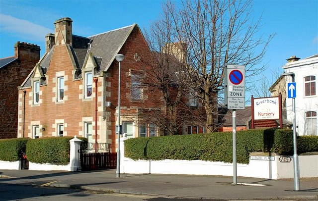
Image: © Mary and Angus Hogg Taken: 6 Mar 2009
A long-established town centre nursery, located on the corner of Fort Street and Citadel Lane. The street names come from the Cromwellian fort which was built here in 1652-3.
Images are licensed for reuse under creativecommons.org/licenses/by-sa/2.0
Image Location
Latitude
55.463774
Longitude
-4.635585