Crewe and Nantwich Circular Walk stile on the A530
Introduction
The photograph on this page of Crewe and Nantwich Circular Walk stile on the A530 by Espresso Addict as part of the Geograph project.
The Geograph project started in 2005 with the aim of publishing, organising and preserving representative images for every square kilometre of Great Britain, Ireland and the Isle of Man.

There are currently over 7.5m images from over 14,400 individuals and you can help contribute to the project by visiting https://www.geograph.org.uk
Crewe and Nantwich Circular Walk stile on the A530
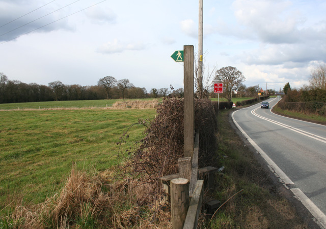
Image: © Espresso Addict Taken: 5 Mar 2009
A short section of the Crewe and Nantwich Circular Walk follows the busy A530 in Minshull Vernon. The footpath leaves the road again at Moat House Farm (in trees on right). The line of thicker brown grass marks the path of a small unnamed brook, a tributary of the larger brook that runs through Worsley Covert (left). The flat pasture shown here is typical of this grid square
Images are licensed for reuse under creativecommons.org/licenses/by-sa/2.0
Image Location


Leaflet Map data © OpenStreetMap
Latitude
53.142233
Longitude
-2.473862