Reach Village Centre
Introduction
The photograph on this page of Reach Village Centre by Tony Lewis as part of the Geograph project.
The Geograph project started in 2005 with the aim of publishing, organising and preserving representative images for every square kilometre of Great Britain, Ireland and the Isle of Man.

There are currently over 7.5m images from over 14,400 individuals and you can help contribute to the project by visiting https://www.geograph.org.uk
Reach Village Centre
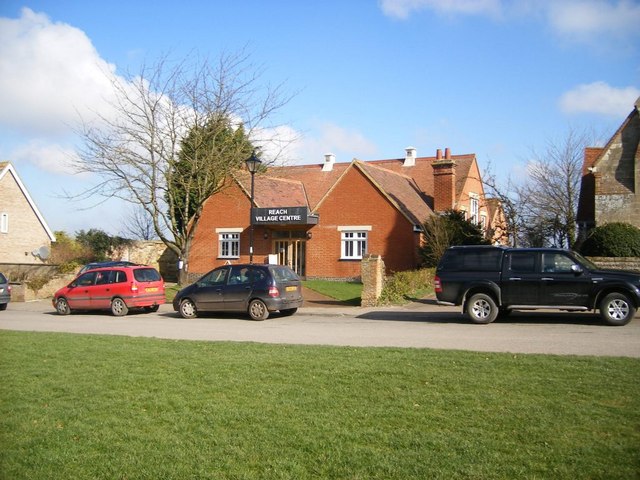
Image: © Tony Lewis Taken: 5 Mar 2009
Formerly the village primary school, which was built in 1909 and closed in 1960, it was taken over by the parish council in 1972.
Images are licensed for reuse under creativecommons.org/licenses/by-sa/2.0
Image Location
Latitude
52.272363
Longitude
0.294324