Brook in Worsley Covert
Introduction
The photograph on this page of Brook in Worsley Covert by Espresso Addict as part of the Geograph project.
The Geograph project started in 2005 with the aim of publishing, organising and preserving representative images for every square kilometre of Great Britain, Ireland and the Isle of Man.

There are currently over 7.5m images from over 14,400 individuals and you can help contribute to the project by visiting https://www.geograph.org.uk
Brook in Worsley Covert
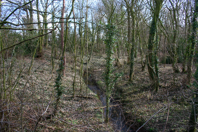
Image: © Espresso Addict Taken: 5 Mar 2009
The shallow wooded valley of Worsley Covert surrounds an unnamed brook. View south east from Brookhouse Lane which forms the grid square boundary at this point. See also Image
Images are licensed for reuse under creativecommons.org/licenses/by-sa/2.0
Image Location
Latitude
53.147874
Longitude
-2.479456