Upper Lynemore
Introduction
The photograph on this page of Upper Lynemore by Anne Burgess as part of the Geograph project.
The Geograph project started in 2005 with the aim of publishing, organising and preserving representative images for every square kilometre of Great Britain, Ireland and the Isle of Man.

There are currently over 7.5m images from over 14,400 individuals and you can help contribute to the project by visiting https://www.geograph.org.uk
Upper Lynemore
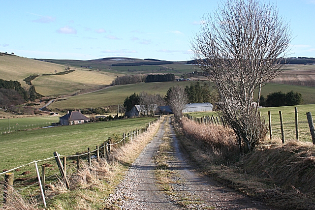
Image: © Anne Burgess Taken: 6 Mar 2009
Upper Lynemore has access tracks from both the road above and the road below. This is the upper access. The dense clmup of conifers beyond the farm conceals most of Mains of Blairmore.
Images are licensed for reuse under creativecommons.org/licenses/by-sa/2.0
Image Location
Latitude
57.47803
Longitude
-2.991024