Coupar Angus Road, Newtyle at its junction with Meigle / Dundee Road
Introduction
The photograph on this page of Coupar Angus Road, Newtyle at its junction with Meigle / Dundee Road by Alan Morrison as part of the Geograph project.
The Geograph project started in 2005 with the aim of publishing, organising and preserving representative images for every square kilometre of Great Britain, Ireland and the Isle of Man.

There are currently over 7.5m images from over 14,400 individuals and you can help contribute to the project by visiting https://www.geograph.org.uk
Coupar Angus Road, Newtyle at its junction with Meigle / Dundee Road
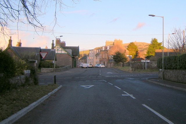
Image: © Alan Morrison Taken: 1 Mar 2009
North Street is straight ahead. Kinpurnie Hill can be seen.
Images are licensed for reuse under creativecommons.org/licenses/by-sa/2.0
Image Location
Latitude
56.558184
Longitude
-3.147765