Spoil tip, Cwm Du
Introduction
The photograph on this page of Spoil tip, Cwm Du by eswales as part of the Geograph project.
The Geograph project started in 2005 with the aim of publishing, organising and preserving representative images for every square kilometre of Great Britain, Ireland and the Isle of Man.

There are currently over 7.5m images from over 14,400 individuals and you can help contribute to the project by visiting https://www.geograph.org.uk
Spoil tip, Cwm Du
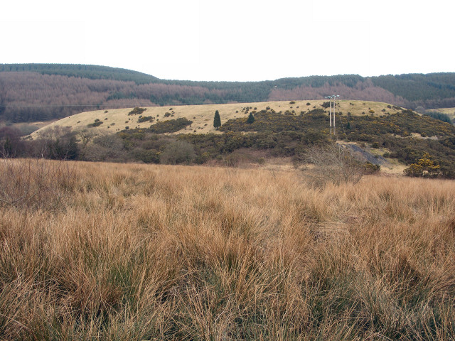
Image: © eswales Taken: 5 Mar 2009
A view of the disused tip which is marked on Ordnance Survey's 1:25,000 map, and the contours of which can be seen on the 1:50,000 version. Beneath the vegetation it consists of spoil from mining work at St John's Colliery, also known as Cwmdu Colliery, which closed in 1985.
Images are licensed for reuse under creativecommons.org/licenses/by-sa/2.0
Image Location
Latitude
51.612539
Longitude
-3.622821