The A485 approaching Aber-Gi
Introduction
The photograph on this page of The A485 approaching Aber-Gi by Nigel Brown as part of the Geograph project.
The Geograph project started in 2005 with the aim of publishing, organising and preserving representative images for every square kilometre of Great Britain, Ireland and the Isle of Man.

There are currently over 7.5m images from over 14,400 individuals and you can help contribute to the project by visiting https://www.geograph.org.uk
The A485 approaching Aber-Gi
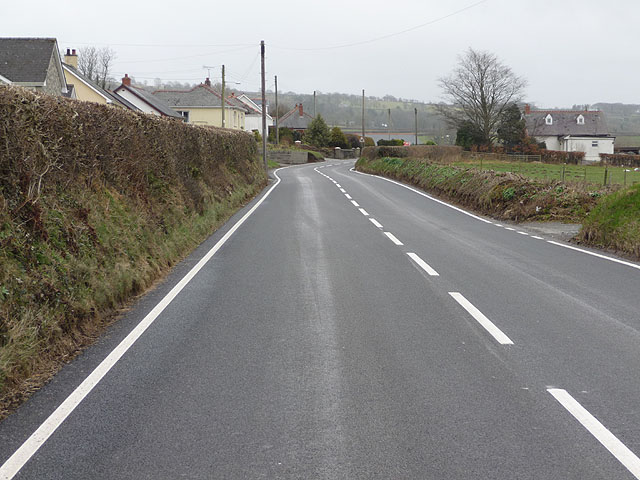
Image: © Nigel Brown Taken: 6 Mar 2009
A moderately wide and somewhat winding road which carries a fair amount of traffic.
Images are licensed for reuse under creativecommons.org/licenses/by-sa/2.0
Image Location
Latitude
52.048941
Longitude
-4.183154