Housing on Wolverhampton Road East
Introduction
The photograph on this page of Housing on Wolverhampton Road East by Roger D Kidd as part of the Geograph project.
The Geograph project started in 2005 with the aim of publishing, organising and preserving representative images for every square kilometre of Great Britain, Ireland and the Isle of Man.

There are currently over 7.5m images from over 14,400 individuals and you can help contribute to the project by visiting https://www.geograph.org.uk
Housing on Wolverhampton Road East
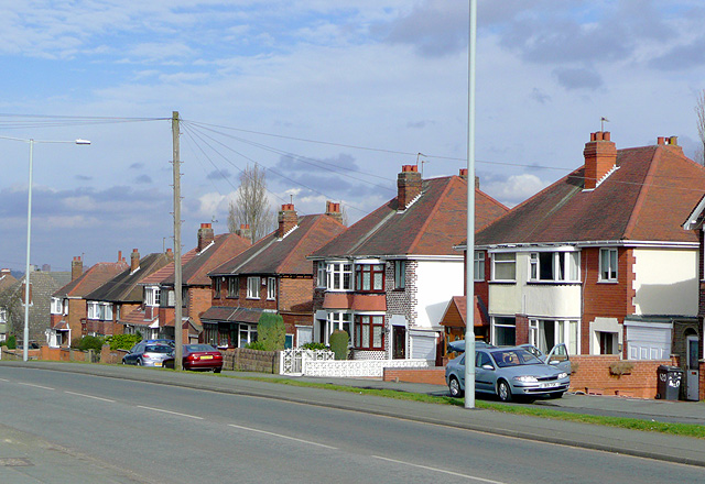
Image: © Roger D Kidd Taken: 6 Mar 2009
These 1930s (?) semi-detached houses on the main road between Wolverhampton and Sedgley have long had a frequent bus route, which for decades was the No 58, see Image Today the route is the No 558 which can be seen in this image: Image
Images are licensed for reuse under creativecommons.org/licenses/by-sa/2.0
Image Location
Latitude
52.558805
Longitude
-2.120173