Pasture near High Farm, Minshull Vernon
Introduction
The photograph on this page of Pasture near High Farm, Minshull Vernon by Espresso Addict as part of the Geograph project.
The Geograph project started in 2005 with the aim of publishing, organising and preserving representative images for every square kilometre of Great Britain, Ireland and the Isle of Man.

There are currently over 7.5m images from over 14,400 individuals and you can help contribute to the project by visiting https://www.geograph.org.uk
Pasture near High Farm, Minshull Vernon
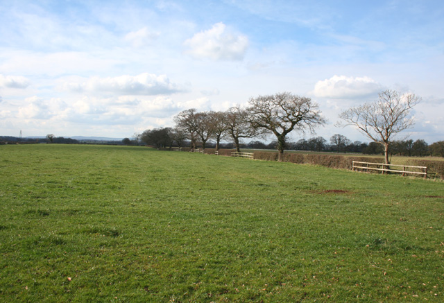
Image: © Espresso Addict Taken: 5 Mar 2009
View west from Eardswick Lane near High Farm. The flat pasture with trees along the field boundary is typical of this grid square. The line of the Peckforton Hills is visible on the horizon
Images are licensed for reuse under creativecommons.org/licenses/by-sa/2.0
Image Location
Latitude
53.131038
Longitude
-2.485995