Takeley Recreation Ground
Introduction
The photograph on this page of Takeley Recreation Ground by Thomas Nugent as part of the Geograph project.
The Geograph project started in 2005 with the aim of publishing, organising and preserving representative images for every square kilometre of Great Britain, Ireland and the Isle of Man.

There are currently over 7.5m images from over 14,400 individuals and you can help contribute to the project by visiting https://www.geograph.org.uk
Takeley Recreation Ground
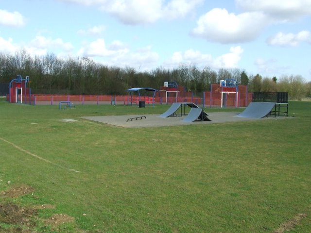
Image: © Thomas Nugent Taken: 2 Mar 2009
A skatepark and kick-about areas within the park at the south end of the village on the B183.
Images are licensed for reuse under creativecommons.org/licenses/by-sa/2.0
Image Location


Leaflet Map data © OpenStreetMap
Latitude
51.862532
Longitude
0.269051