The Daisy Bank Centre
Introduction
The photograph on this page of The Daisy Bank Centre by Richard Law as part of the Geograph project.
The Geograph project started in 2005 with the aim of publishing, organising and preserving representative images for every square kilometre of Great Britain, Ireland and the Isle of Man.

There are currently over 7.5m images from over 14,400 individuals and you can help contribute to the project by visiting https://www.geograph.org.uk
The Daisy Bank Centre
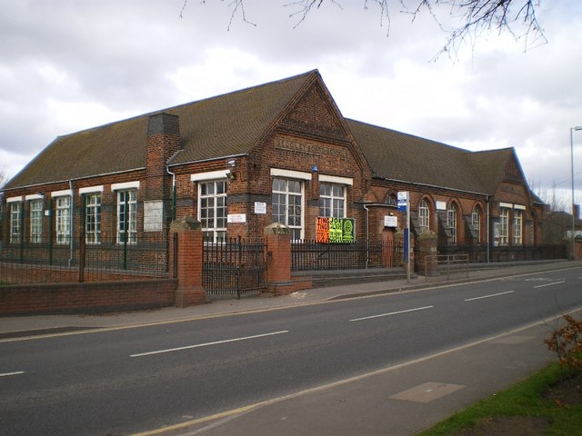
Image: © Richard Law Taken: 2 Mar 2009
A potted version of this former school's history is summarised here: http://www.sedgleylocalhistory.org.uk/Brly/dbanksch.html In essence, it was built in the 1870s, and converted to a community centre and library around 1980.
Images are licensed for reuse under creativecommons.org/licenses/by-sa/2.0
Image Location
Latitude
52.555517
Longitude
-2.074883