Rodley Bottom
Introduction
The photograph on this page of Rodley Bottom by Mark Morton as part of the Geograph project.
The Geograph project started in 2005 with the aim of publishing, organising and preserving representative images for every square kilometre of Great Britain, Ireland and the Isle of Man.

There are currently over 7.5m images from over 14,400 individuals and you can help contribute to the project by visiting https://www.geograph.org.uk
Rodley Bottom
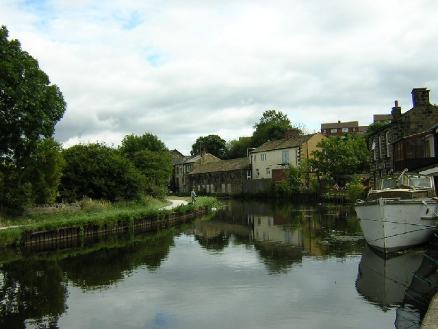
Image: © Mark Morton Taken: 23 Aug 2003
The Leeds to Liverpool Canal passes through the Leeds suburb of Rodley
Images are licensed for reuse under creativecommons.org/licenses/by-sa/2.0
Image Location


Leaflet Map data © OpenStreetMap
Latitude
53.824301
Longitude
-1.664235