Besom Fleet and Middle Ooze
Introduction
The photograph on this page of Besom Fleet and Middle Ooze by Simon Huguet as part of the Geograph project.
The Geograph project started in 2005 with the aim of publishing, organising and preserving representative images for every square kilometre of Great Britain, Ireland and the Isle of Man.

There are currently over 7.5m images from over 14,400 individuals and you can help contribute to the project by visiting https://www.geograph.org.uk
Besom Fleet and Middle Ooze
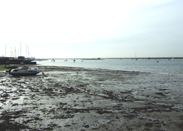
Image: © Simon Huguet Taken: 26 Feb 2009
Looking from the harbour pontoon, south across the mudflats towards the channel. The little island with the hut on it was apparently where oystermen would process their catch if they arrived back in port at low tide.
Images are licensed for reuse under creativecommons.org/licenses/by-sa/2.0
Image Location
Latitude
51.777561
Longitude
0.898485