Tiverton : Moorhayes Community Centre
Introduction
The photograph on this page of Tiverton : Moorhayes Community Centre by Lewis Clarke as part of the Geograph project.
The Geograph project started in 2005 with the aim of publishing, organising and preserving representative images for every square kilometre of Great Britain, Ireland and the Isle of Man.

There are currently over 7.5m images from over 14,400 individuals and you can help contribute to the project by visiting https://www.geograph.org.uk
Tiverton : Moorhayes Community Centre
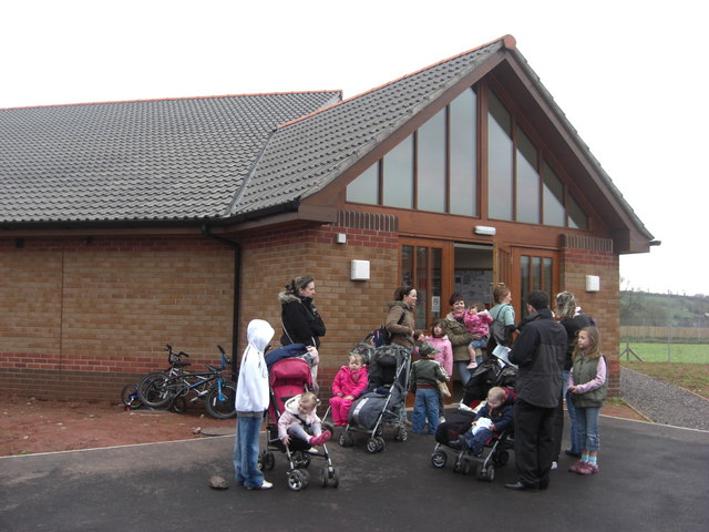
Image: © Lewis Clarke Taken: 22 Feb 2008
Moorhayes Community Centre was built in the mid part of the 2000 decade as part of a larger construction scheme which added more houses onto the town.
Images are licensed for reuse under creativecommons.org/licenses/by-sa/2.0
Image Location
Latitude
50.915376
Longitude
-3.478092