Near Thickthorn Farm, east of Preston
Introduction
The photograph on this page of Near Thickthorn Farm, east of Preston by Brian Robert Marshall as part of the Geograph project.
The Geograph project started in 2005 with the aim of publishing, organising and preserving representative images for every square kilometre of Great Britain, Ireland and the Isle of Man.

There are currently over 7.5m images from over 14,400 individuals and you can help contribute to the project by visiting https://www.geograph.org.uk
Near Thickthorn Farm, east of Preston
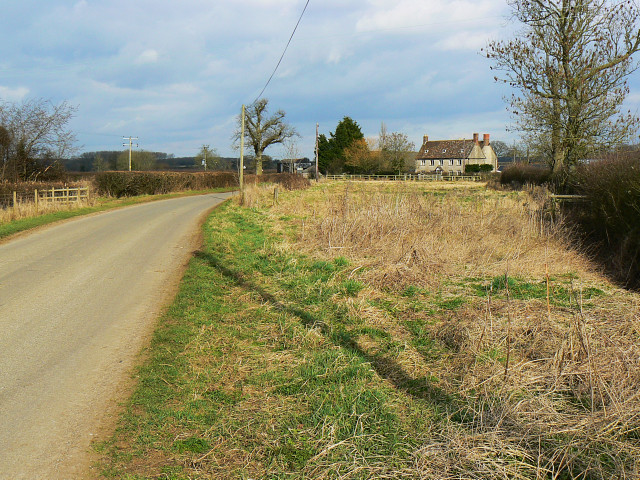
Image: © Brian Robert Marshall Taken: 2 Mar 2009
The 1:25K map shows two Thickthorn Farms at this location. The rather fine house shown here is the more easterly of the pair. It is just within this square. The 'Preston' in the title is the Wiltshire Preston, not to be confused with its less well-known namesake which is up north somewhere.
Images are licensed for reuse under creativecommons.org/licenses/by-sa/2.0
Image Location
Latitude
51.500468
Longitude
-1.93253