The road to Bushton
Introduction
The photograph on this page of The road to Bushton by Brian Robert Marshall as part of the Geograph project.
The Geograph project started in 2005 with the aim of publishing, organising and preserving representative images for every square kilometre of Great Britain, Ireland and the Isle of Man.

There are currently over 7.5m images from over 14,400 individuals and you can help contribute to the project by visiting https://www.geograph.org.uk
The road to Bushton
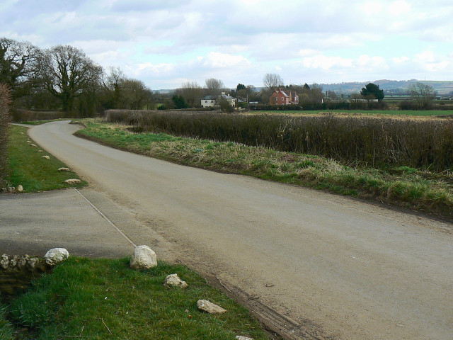
Image: © Brian Robert Marshall Taken: 2 Mar 2009
The maps show the road is known as 'The Greenway'. The properties in the background straddle the southern gridline of this square.
Images are licensed for reuse under creativecommons.org/licenses/by-sa/2.0
Image Location
Latitude
51.510452
Longitude
-1.938711