Weston Square, Barry
Introduction
The photograph on this page of Weston Square, Barry by Mick Lobb as part of the Geograph project.
The Geograph project started in 2005 with the aim of publishing, organising and preserving representative images for every square kilometre of Great Britain, Ireland and the Isle of Man.

There are currently over 7.5m images from over 14,400 individuals and you can help contribute to the project by visiting https://www.geograph.org.uk
Weston Square, Barry
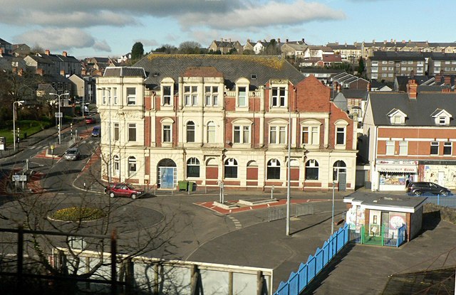
Image: © Mick Lobb Taken: 23 Feb 2009
The view is from the railway bridge passing over the A4055 below and off to the left. One of the older areas of the town and close to the dock that were the reason for the expansion of Barry.
Images are licensed for reuse under creativecommons.org/licenses/by-sa/2.0
Image Location
Latitude
51.410359
Longitude
-3.251719