Kilmersdon Brook
Introduction
The photograph on this page of Kilmersdon Brook by Derek Harper as part of the Geograph project.
The Geograph project started in 2005 with the aim of publishing, organising and preserving representative images for every square kilometre of Great Britain, Ireland and the Isle of Man.

There are currently over 7.5m images from over 14,400 individuals and you can help contribute to the project by visiting https://www.geograph.org.uk
Kilmersdon Brook
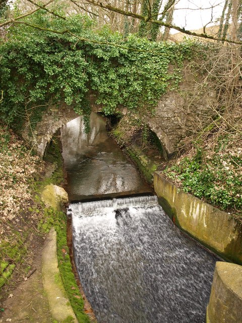
Image: © Derek Harper Taken: 25 Feb 2009
The brook tumbles over a small weir as it approaches the Frome Road east of Radstock town centre. The ivy-covered bridge carries a road to Image
Images are licensed for reuse under creativecommons.org/licenses/by-sa/2.0
Image Location
Latitude
51.291397
Longitude
-2.444516