Byway to Green Lane
Introduction
The photograph on this page of Byway to Green Lane by Maigheach-gheal as part of the Geograph project.
The Geograph project started in 2005 with the aim of publishing, organising and preserving representative images for every square kilometre of Great Britain, Ireland and the Isle of Man.

There are currently over 7.5m images from over 14,400 individuals and you can help contribute to the project by visiting https://www.geograph.org.uk
Byway to Green Lane
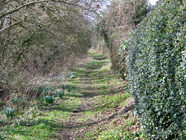
Image: © Maigheach-gheal Taken: 2 Mar 2009
This short byway takes you to Green Lane at Upper Kingston. Horses have to ford a brook and for walkers there is a footbridge to gain access to it.
Images are licensed for reuse under creativecommons.org/licenses/by-sa/2.0
Image Location
Latitude
50.831078
Longitude
-1.76992