Kersal - Nevile Road
Introduction
The photograph on this page of Kersal - Nevile Road by Peter Whatley as part of the Geograph project.
The Geograph project started in 2005 with the aim of publishing, organising and preserving representative images for every square kilometre of Great Britain, Ireland and the Isle of Man.

There are currently over 7.5m images from over 14,400 individuals and you can help contribute to the project by visiting https://www.geograph.org.uk
Kersal - Nevile Road
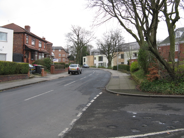
Image: © Peter Whatley Taken: 28 Feb 2009
The new flats in the distance have their bases considerably lower down on Vine Street.
Images are licensed for reuse under creativecommons.org/licenses/by-sa/2.0
Image Location
Latitude
53.513745
Longitude
-2.269441