Road improvements, Barnard's Green
Introduction
The photograph on this page of Road improvements, Barnard's Green by Bob Embleton as part of the Geograph project.
The Geograph project started in 2005 with the aim of publishing, organising and preserving representative images for every square kilometre of Great Britain, Ireland and the Isle of Man.

There are currently over 7.5m images from over 14,400 individuals and you can help contribute to the project by visiting https://www.geograph.org.uk
Road improvements, Barnard's Green
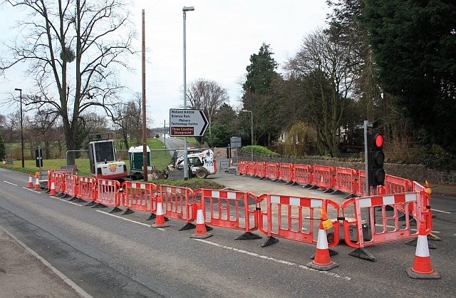
Image: © Bob Embleton Taken: 28 Feb 2009
Major disruption with three-way traffic lights. Apparently to change the sharpness of the acute road junction of the Poolbrook Road (opposite) with the Barnards Green Road (left to right).
Images are licensed for reuse under creativecommons.org/licenses/by-sa/2.0
Image Location
Latitude
52.106982
Longitude
-2.306136