Lane below Swamp, near Finkle Street, Luddenden Foot
Introduction
The photograph on this page of Lane below Swamp, near Finkle Street, Luddenden Foot by Humphrey Bolton as part of the Geograph project.
The Geograph project started in 2005 with the aim of publishing, organising and preserving representative images for every square kilometre of Great Britain, Ireland and the Isle of Man.

There are currently over 7.5m images from over 14,400 individuals and you can help contribute to the project by visiting https://www.geograph.org.uk
Lane below Swamp, near Finkle Street, Luddenden Foot
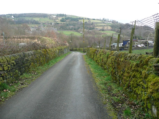
Image: © Humphrey Bolton Taken: 27 Feb 2009
The reservoir is on the left, and Styes Lane comes in on the right. Warley is in the distance on the far side of the Calder valley.
Images are licensed for reuse under creativecommons.org/licenses/by-sa/2.0
Image Location
Latitude
53.712407
Longitude
-1.943904