River Sherbourne junk trap
Introduction
The photograph on this page of River Sherbourne junk trap by E Gammie as part of the Geograph project.
The Geograph project started in 2005 with the aim of publishing, organising and preserving representative images for every square kilometre of Great Britain, Ireland and the Isle of Man.

There are currently over 7.5m images from over 14,400 individuals and you can help contribute to the project by visiting https://www.geograph.org.uk
River Sherbourne junk trap
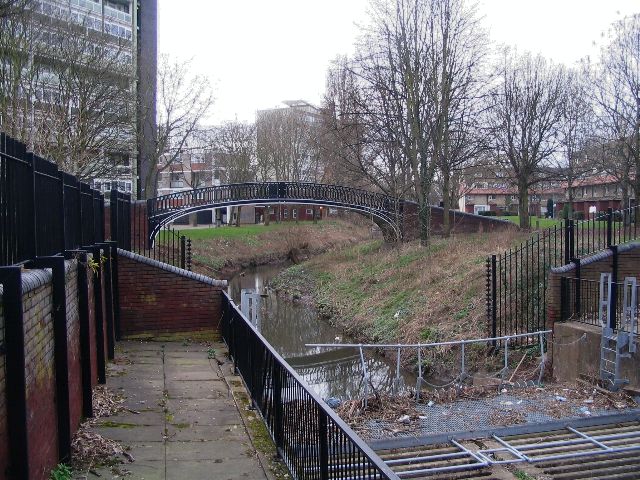
Image: © E Gammie Taken: 27 Feb 2009
This is the point where the river Sherbourne passes under Meadow Street and begins its culverted journey under the city centre. The bridge is a former Oxford canal bridge made by Horseley Iron Works. The nearby flats and maisonettes were built in the 1950s and 1960s to replace Victorian red-brick terraces.
Images are licensed for reuse under creativecommons.org/licenses/by-sa/2.0
Image Location
Latitude
52.406506
Longitude
-1.520894