Nant Cledlyn
Introduction
The photograph on this page of Nant Cledlyn by Marion Phillips as part of the Geograph project.
The Geograph project started in 2005 with the aim of publishing, organising and preserving representative images for every square kilometre of Great Britain, Ireland and the Isle of Man.

There are currently over 7.5m images from over 14,400 individuals and you can help contribute to the project by visiting https://www.geograph.org.uk
Nant Cledlyn
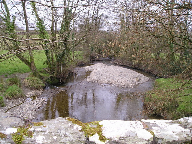
Image: © Marion Phillips Taken: 27 Feb 2009
This photograph of the Nant Cledlyn is looking downstream towards the confluence of the stream with the Afon Teifi. It is the end of February and both the catkins and the days are lengthening with the approach of spring!
Images are licensed for reuse under creativecommons.org/licenses/by-sa/2.0
Image Location
Latitude
52.064906
Longitude
-4.199836