The top end of Clifton Common (A643)
Introduction
The photograph on this page of The top end of Clifton Common (A643) by Humphrey Bolton as part of the Geograph project.
The Geograph project started in 2005 with the aim of publishing, organising and preserving representative images for every square kilometre of Great Britain, Ireland and the Isle of Man.

There are currently over 7.5m images from over 14,400 individuals and you can help contribute to the project by visiting https://www.geograph.org.uk
The top end of Clifton Common (A643)
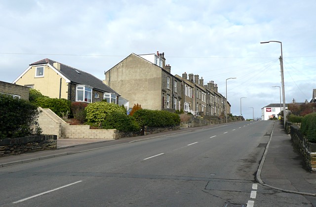
Image: © Humphrey Bolton Taken: 23 Feb 2009
This is the section above New Street. The Armytage Arms at the top of the hill is in sight.
Images are licensed for reuse under creativecommons.org/licenses/by-sa/2.0
Image Location
Latitude
53.704101
Longitude
-1.765169