Hill Top Cawthorne
Introduction
The photograph on this page of Hill Top Cawthorne by John Fielding as part of the Geograph project.
The Geograph project started in 2005 with the aim of publishing, organising and preserving representative images for every square kilometre of Great Britain, Ireland and the Isle of Man.

There are currently over 7.5m images from over 14,400 individuals and you can help contribute to the project by visiting https://www.geograph.org.uk
Hill Top Cawthorne
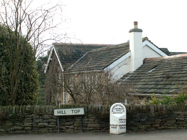
Image: © John Fielding Taken: 26 Feb 2009
Lane Head Road is stamped on top of the distance indicator but is 300m SE and is the A635.
Images are licensed for reuse under creativecommons.org/licenses/by-sa/2.0
Image Location
Latitude
53.568563
Longitude
-1.572041