Near Coker Hill Bridge
Introduction
The photograph on this page of Near Coker Hill Bridge by Sarah Smith as part of the Geograph project.
The Geograph project started in 2005 with the aim of publishing, organising and preserving representative images for every square kilometre of Great Britain, Ireland and the Isle of Man.

There are currently over 7.5m images from over 14,400 individuals and you can help contribute to the project by visiting https://www.geograph.org.uk
Near Coker Hill Bridge
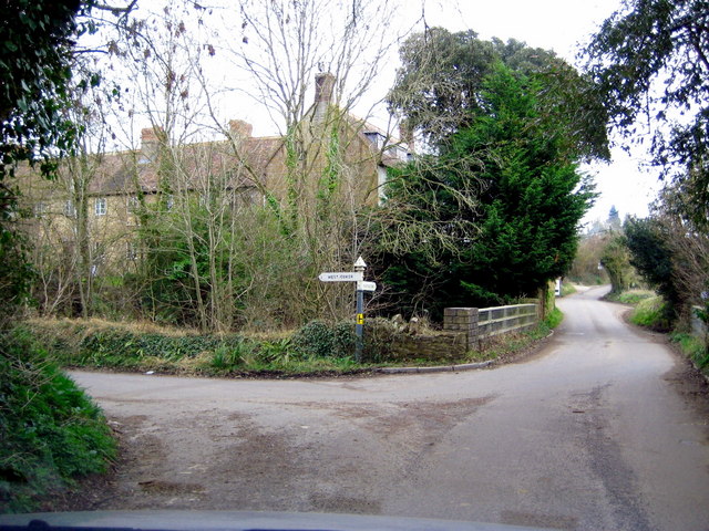
Image: © Sarah Smith Taken: 26 Feb 2009
This is the junction of Collarway Lane with the slip road on the left called West Coker Hill down to the A30. Straight ahead is the bridge over the main road and Coker Hill. A close-up view is Image
Images are licensed for reuse under creativecommons.org/licenses/by-sa/2.0
Image Location
Latitude
50.917919
Longitude
-2.706684