Oil Rigs and Road Junctions
Introduction
The photograph on this page of Oil Rigs and Road Junctions by Dorcas Sinclair as part of the Geograph project.
The Geograph project started in 2005 with the aim of publishing, organising and preserving representative images for every square kilometre of Great Britain, Ireland and the Isle of Man.

There are currently over 7.5m images from over 14,400 individuals and you can help contribute to the project by visiting https://www.geograph.org.uk
Oil Rigs and Road Junctions
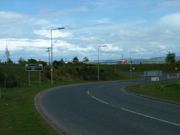
Image: © Dorcas Sinclair Taken: 21 May 2005
This junction is from the Invergordon turnoff. The view looks over the Cromarty Firth and the Oilrigs which are stored there when not in use.
Images are licensed for reuse under creativecommons.org/licenses/by-sa/2.0
Image Location


Leaflet Map data © OpenStreetMap
Latitude
57.695439
Longitude
-4.241391