West Malling Golf Course
Introduction
The photograph on this page of West Malling Golf Course by David Anstiss as part of the Geograph project.
The Geograph project started in 2005 with the aim of publishing, organising and preserving representative images for every square kilometre of Great Britain, Ireland and the Isle of Man.

There are currently over 7.5m images from over 14,400 individuals and you can help contribute to the project by visiting https://www.geograph.org.uk
West Malling Golf Course
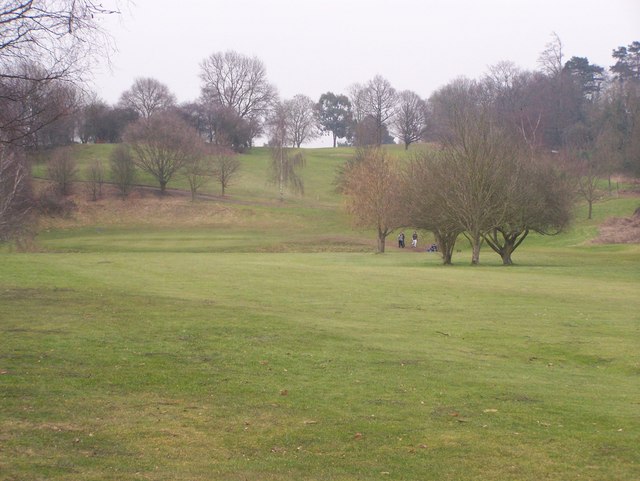
Image: © David Anstiss Taken: 17 Feb 2009
As seen from footpath from St Vincents Lane to A20 London Road. Path is not very well marked. Also comes out onto road, through untrimmed hedge, difficult to see gap in trees on the golf course.
Images are licensed for reuse under creativecommons.org/licenses/by-sa/2.0
Image Location
Latitude
51.300891
Longitude
0.357157