B6342 at Steel Rigg
Introduction
The photograph on this page of B6342 at Steel Rigg by Oliver Dixon as part of the Geograph project.
The Geograph project started in 2005 with the aim of publishing, organising and preserving representative images for every square kilometre of Great Britain, Ireland and the Isle of Man.

There are currently over 7.5m images from over 14,400 individuals and you can help contribute to the project by visiting https://www.geograph.org.uk
B6342 at Steel Rigg
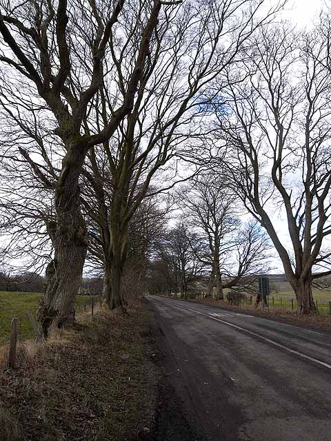
Image: © Oliver Dixon Taken: 22 Feb 2009
The B6342 Hexham to Rothbury road incorporates many long straight tree-lined sections interspersed with right-angled bends.
Images are licensed for reuse under creativecommons.org/licenses/by-sa/2.0
Image Location
Latitude
55.105769
Longitude
-2.012509