Howden Bridge
Introduction
The photograph on this page of Howden Bridge by David Rogers as part of the Geograph project.
The Geograph project started in 2005 with the aim of publishing, organising and preserving representative images for every square kilometre of Great Britain, Ireland and the Isle of Man.

There are currently over 7.5m images from over 14,400 individuals and you can help contribute to the project by visiting https://www.geograph.org.uk
Howden Bridge
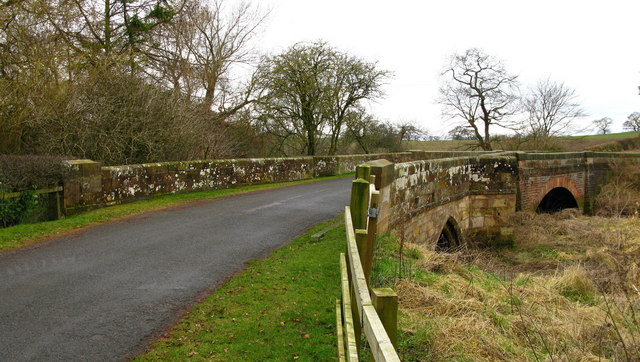
Image: © David Rogers Taken: 23 Feb 2009
Howden Bridge is a Scheduled Monument number 193, as listed by Hambleton District Council. It used to carry the A684 Ainderby Road over the River Wiske until the nearby Viewly Bridge was built in 1956.
Images are licensed for reuse under creativecommons.org/licenses/by-sa/2.0
Image Location
Latitude
54.322558
Longitude
-1.461556