Cobden View Road, Crookes
Introduction
The photograph on this page of Cobden View Road, Crookes by Dave Hitchborne as part of the Geograph project.
The Geograph project started in 2005 with the aim of publishing, organising and preserving representative images for every square kilometre of Great Britain, Ireland and the Isle of Man.

There are currently over 7.5m images from over 14,400 individuals and you can help contribute to the project by visiting https://www.geograph.org.uk
Cobden View Road, Crookes
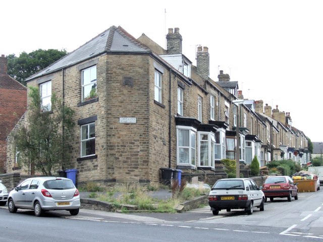
Image: © Dave Hitchborne Taken: 26 Aug 2008
The houses at the top end are a little more upmarket than some of the others at the lower end. They still haven't got off-road parking though. These houses form a triangle with houses on the left and shops and a garage above.
Images are licensed for reuse under creativecommons.org/licenses/by-sa/2.0
Image Location


Leaflet Map data © OpenStreetMap
Latitude
53.386487
Longitude
-1.505684